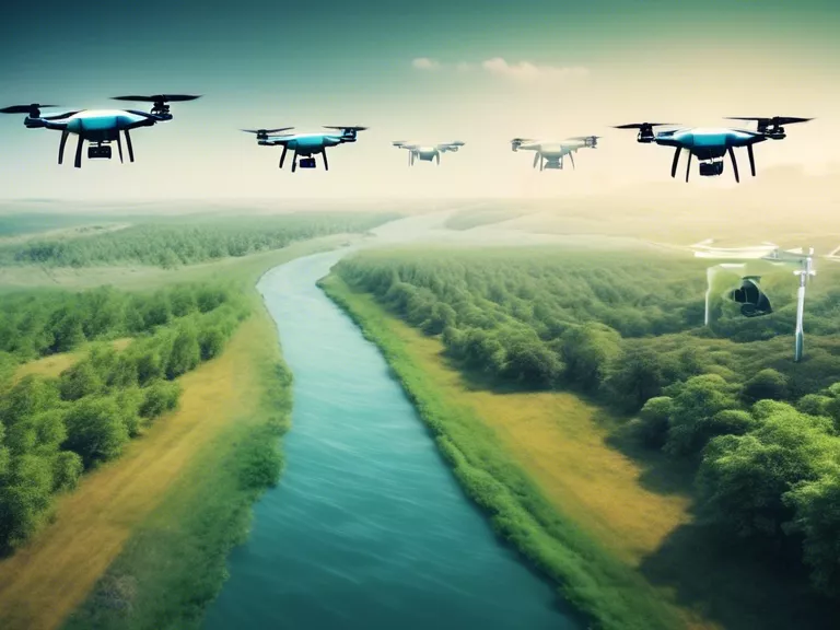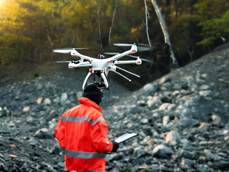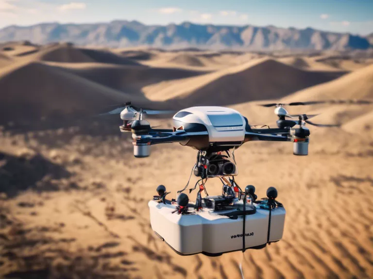
With the advancement of artificial intelligence (AI) technology, drones are now being equipped with the capability to map and monitor environmental changes more effectively than ever before. This development has the potential to revolutionize how we gather and analyze data for environmental conservation and management purposes.
One of the key ways AI is enabling drones to map and monitor environmental changes is through improved image recognition and analysis. Drones equipped with AI-powered software can process large volumes of image data collected during flights and identify environmental features such as vegetation cover, water bodies, and land use patterns. This allows for more accurate and detailed mapping of ecosystems and changes over time.
Furthermore, AI algorithms can be trained to detect specific environmental indicators, such as deforestation, pollution, or habitat loss. By programming drones to focus on these indicators during their flights, environmental scientists and conservationists can quickly assess the extent of the problem and take appropriate action. This targeted monitoring approach is much more cost-effective and efficient than traditional methods of field data collection.
In addition to mapping and monitoring, AI-enabled drones can also be used for predictive modeling of environmental changes. By analyzing historical data and current trends, AI algorithms can forecast potential future environmental impacts, such as biodiversity loss or climate change effects. This information can help policymakers and environmental organizations make informed decisions about conservation and management strategies.
Overall, the combination of AI and drones offers a powerful tool for studying and protecting the environment. As technology continues to advance, we can expect even more sophisticated applications of AI in environmental monitoring. By leveraging these innovations, we can better understand and address environmental challenges facing our planet.


